Maps of Western Pennsylvania Medical College locations

Item

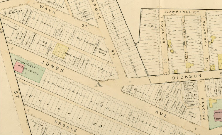
Yellow map showing Wayn St, Jones Ave, and Dickson St. Western Penn Medical College is a pink square on the left side of the map on Jones Ave.
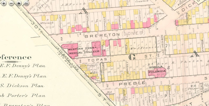
Pink-shaded map showing Brereton, Topas, and Preble Streets. Western Pennsylvania Medical College is larger pink/white rectangle at 30th St and Topas St.
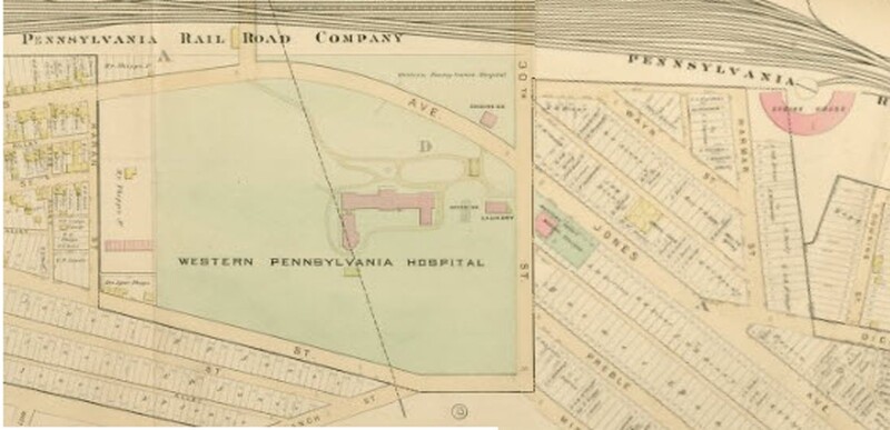
Yellow colored map from the Pennsylvania Railroad Company showing Jones Ave and 30th St. Western Pennsylvania Hospital is a large green/pink area in the center of the map at 30th St.
Title
Maps of Western Pennsylvania Medical College locations
Description
Maps of Polish Hill area of Pittsburgh with the location of the Western Pennsylvania Medical College
Coverage
1886-1898